
The cadastral address identifies a parcel in the tax system managed by the Directorate General of Public Finances. The postal address is used to deliver mail via the La Poste reference system. These two systems operate independently, and their disagreement over the same property creates concrete obstacles during a sale, a building permit request, or a connection to utilities.
Cadastral reference and postal address: why two systems coexist
The cadastre divides the territory into sections and parcels to calculate the basis for property tax and housing tax. Each parcel has an identifier made up of a municipal prefix, a section (letters), and a number. This referencing does not take into account the street name or postal number.
The postal address, on the other hand, is based on the National Address Database (BAN), supplied by municipalities and used by La Poste, emergency services, and network operators. The BAN associates a street number, a street name, and an INSEE code with geographical coordinates.
A parcel may straddle two municipalities or have been attached to a neighboring municipality after an administrative merger, without the cadastre being updated. Conversely, a municipality may rename a street or renumber buildings without the DGFiP immediately adjusting its databases. The discrepancy between the data available on the Immobilier 74 site for the cadastral address illustrates the frequency of these discrepancies, even in recent urban areas.

Consequences of a different cadastral address on real estate procedures
The first tangible effect concerns notarial acts. The notary must mention the exact cadastral reference in the sales deed. If the property’s postal address does not match the one recorded in the cadastre, the notary may suspend the signing until consistency is restored.
Urban planning requests pose a similar problem. A building permit submitted with a postal address that does not correspond to the targeted cadastral parcel risks rejection by the municipal instruction service.
Connection to utilities and geocoding
Water, electricity, or fiber optic operators use geocoded databases to locate delivery points. A discrepancy between the BAN address and the cadastral parcel can block a connection, as the automated system cannot associate the request with a verified physical location.
The Urban Planning Geoportal, which lists easements and regulatory zoning, also relies on the intersection of the INSEE code, address, and cadastral reference. Checking for consistency on this portal, and not just on the cadastral plan, helps anticipate a potential permit refusal or a misclassification in a protected area.
Addressing certificate: the key document to correct the discrepancy
The addressing certificate (sometimes called numbering certificate) is issued by the municipality. It officially certifies the number and street name assigned to a given cadastral parcel. This document formally links the two systems.
The National Address Database offers an online service to generate this certificate for municipalities whose technical data is up to date. The certificate can then be forwarded to the notary, tax services, or a network operator to prove consistency.
Concrete steps to obtain the correction
- Check the property’s address on the BAN portal (adresse.data.gouv.fr) and note any discrepancies with the cadastral reference visible on cadastre.gouv.fr.
- Request an addressing certificate from the municipality where the parcel is located. If the online service is not available for the municipality, the request can be made by mail or at the counter.
- Submit the certificate to the DGFiP (land tax center) to trigger the update of the cadastral address in the tax database.
- Provide the certificate to the notary if a sale is in progress, and to network operators if a connection is blocked.
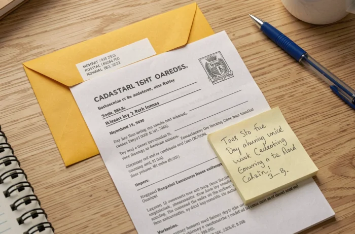
Cross-checking: cadastre, BAN, and Urban Planning Geoportal
Correcting the address in just one reference system is not always sufficient. The automated processing of real estate, energy, or urban planning databases links a property by several identifiers: BAN address, municipal INSEE code, cadastral reference, or even a geographical key from IGN geocoding.
A simple correction of postal wording does not necessarily update all databases. It is essential to verify consistency across three distinct tools:
- The National Address Database, to confirm that the postal address is recognized and geolocated correctly.
- The online cadastral plan (cadastre.gouv.fr), to ensure that the parcel has the correct municipal reference and section number.
- The Urban Planning Geoportal, to verify that the regulatory zoning (PLU, easements) is correctly linked to the concerned parcel and not to a neighboring address.
If a discrepancy persists after obtaining the addressing certificate, the municipality can contact the DGFiP for compliance of the cadastral plan. This procedure generally takes several weeks, and the addressing certificate remains the enforceable supporting document throughout the processing period.
The key takeaway for any transaction or administrative request: verification must be conducted on each database separately, as none of them automatically synchronizes with the others. A property with a cadastral address different from the postal address is not a marginal case, but an administrative situation that is resolved by a specific document, the addressing certificate, and by transmitting this document to each concerned organization.